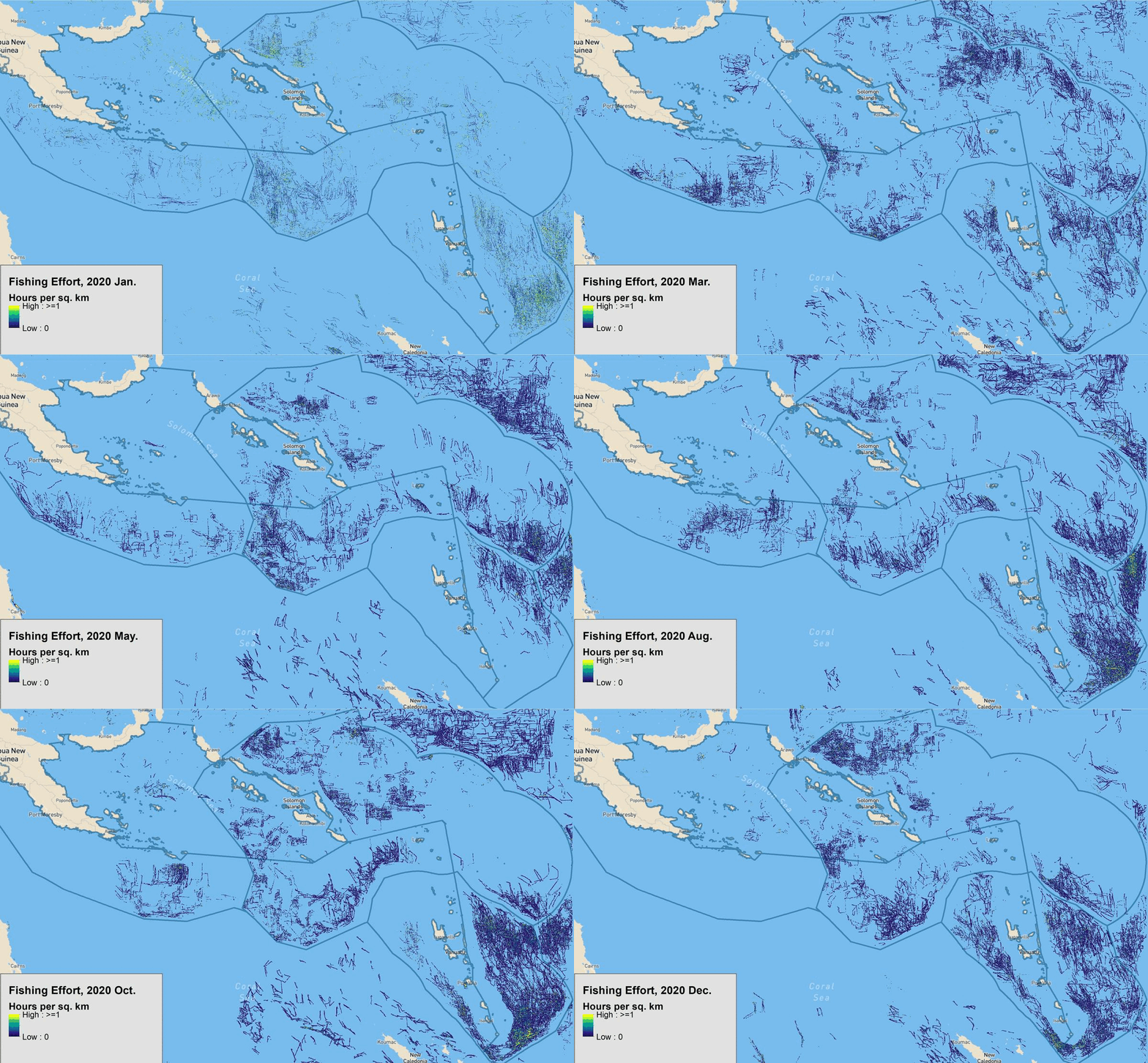
Fishing Intensity#
The Global Fishing Watch platform applies a fishing detection algorithm to AIS data to determine fishing activity based on changes in vessel speed and direction. We used their API to generate maps and fishing indicators for Economic Zones across the Pacific.
Map of Fishing Intensity#

Time Series#
Data Availability#
Sum of fishing hours by exclusive economic zone estimated by Global Fishing Watch with Automatic Identification System (AIS) data. The data covers 12 countries (Pacific Island Countries and Papua New Guinea). Sum of fishing hours provided at a monthly frequency and disaggregated by fishing gear type detected.
The tabular summary is available through the Development Data Catalog.
The data was accessed through GFW’s API under a Creative Commons CC BY-NC 4.0 license. For additional information about the methodology, see the associated journal article: D.A. Kroodsma, J. Mayorga, T. Hochberg, N.A. Miller, K. Boerder, F. Ferretti, A. Wilson, B. Bergman, T.D. White, B.A. Block, P. Woods, B. Sullivan, C. Costello, and B. Worm. “Tracking the global footprint of fisheries.” Science 361.6378 (2018).
