Geospatial and ICT in FCV Course: Additional Resources
Learn the fundamentals of Remote Sensing, Drone, and Mobile data collection, and how to apply them to a range of FCV related projects
This project is maintained by worldbank
Enhancing FCV Operations with Geospatial ICT Tools - Course Resource Page
On this site you can find additional resources to accompany the World Bank’s Enhancing FCV Operations with Geospatial ICT Tools online course. These course materials and supplementary resources support the use of novel data, such as Satellite Imagery, Drone Imagery, and Mobile Phone data in global development projects and data products. Most of the resources are in English, however you can click here to jump to the French materials located at the bottom of the page.
The Geospatial and ICT tools in FCV course was developed by the World Bank’s Development Data Group in collaboration with operational and external partners. Funding was provided by the Korean Trust Fund for Economic and Peacebuilding Transitions (KTF), a global fund administered by the World Bank to finance critical development operations and analysis in situations of Fragility, Conflict, and Violence. The KTF is kindly supported by the Ministry of Economy and Finance, Republic of Korea. For questions regarding the course, please contact the World Bank’s Geospatial Operational Support Team (GOST).
Remote Sensing Resources
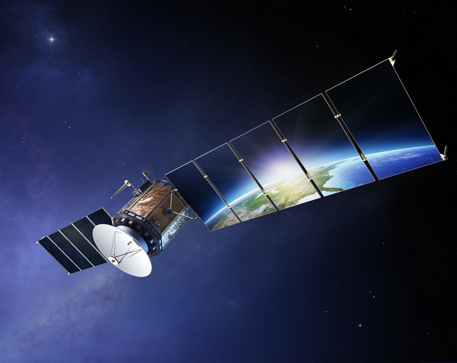
The Remote Sensing module covers the basics of satellite imagery and remote sensing, and how such data can be applied to development projects. It covers key terms related to remote sensing, and explains how to acquire the right imagery, define key project objectives and data requirements.
Remote Sensing Reference Material
- World Bank: Remote Sensing Guide for Practitioners
- World Bank & SatSummit: Satellites in Global Development State of Play
- ESA: Agriculture Overview
- ESA: Newcomers Earth Observation Guide
- EU Science Hub. Global Human Settlement Layer
- Global Solar Atlas
- NASA Shuttle Radar Topography Mission
- NASA Earth Observatory: A Global View of Landslide Susceptibility
- Satsummit: The State of Satellites
- World Pop
Additional Remote Sensing Training Materials
Public Data Repositories & Other Derivative Products
- China
- ESA
- ESA-Sentinel
- Esri Open Data Hub
- Eumetsat
- India
- Japan
- NASA
- NASA’s Socioeconomic Data and Application Center (SEDAC)
- NASA’s Earth Observations (NEO)
- Natural Earth Data
- NOAA
- Open Street Map
- Open Topography
- Sentinel Hub
- Terra Populus
- The Copernicus Open Access Hub
- The Humanitarian Data Exchange (HDX)
- United Nations Environment Programme (UNDP
- USGS (Landsat)
Commercial Geospatial Data Vendors
- Airbus
- Apollo Mapping
- CGG
- Deimos
- E-geos
- European Space Imaging
- GHGSat
- Land info
- MAXAR Resellers
- MDA Geospatial Services
- Planet Labs
- Precision Hawk
- Satellite Imaging Corporation
- SIIS
- Urthecast
- WorldPop: Global Population and Settlement Data
Remote Sensing Case Studies
Drone Resources

The Drone module covers the basics of using drones for development insights, including how to determine if drone imagery is the appropriate solution for your project. The module covers how to acquire drone imagery and plan for the responsible use of drones for development data collection, including how to manage risk and implement safety measures for data collection.
Practical Guides
- World Bank: Unmanned Aerial Vehicle Guide for Practitioners
- World Bank: UAV State of Play in Development
- UNDP Handbook: How Low-income countries can use Drones
Popular Drone Data Processing Software
- DroneDeploy 3D
- Pix4d
- PrecisionHawk 3D
- ArcGIS Drone2Map
- Open Drone Map
- Agisoft
- Maps Made Easy
- 3DF Zphyr
Open Drone Data Repositories
Related Blog Posts
- World Bank Blogs: Pointers from the Philippines
- UNDP Drones fro Social Good
- Development Asia: How to Use Drones in Development Projects
Mobile Phone Data Resources

The mobile data module discusses how mobile technologies both generate data and are transforming the colleciotn of development data. The module includes frameworks and case studies that illustrate principles and practices for the responsible use of mobile data in development projects.
Big Mobile Data
Mobile Big Data - Handbooks, Guides, Job Aids
- World Bank Group - Guidance Note on Location Data
- ITU, 2020. “Handbook for the collection of administrative data on telecommunications/ICT”
- Mobile Data for Development Handbooks (MD4D) DIAL and Data-Pop Alliance
- UN IOM “Assessing CDR for Monitoring Mobility and Displacement
- Where Does the Blue Dot Come From?, MapScaping Podcast, 2021
- Strengths and Challenges of MNO Data
- Strengths and Challenges of Mobile GPS Data
- World Bank: COVID Mobility Task Force
Mobile Big Data Open Tools, Algorithms
- World Bank Covid mobile analytics
- Flowminder and DIAL’s FlowKit, 2018: a free and open analytics toolkit for Call Details Records.
- University of Tokyo CDR Analysis Toolkit.
- Mobilekit - python library for analyzing mobility data
- Bandicoot open source python toolkit to analyze mobile data.
- scikit-mobility - mobility analysis in Python.
- OpenCellID The world’s largest Open Database of Cell Towers.
- Open Algorithms (OPAL), 2017. “Reconciling open innovation and data security”.
Mobile Big Data - Ethics, Security and Privacy-Preserving Resources
- UN Principles on Personal Data Protection and Privacy
- GSMA, Mobile Privacy and Big Data Analytics - Privacy Considerations
- GSMA AI Ethics Principles
- United Nations Handbook on Privacy Preservation Techniques
- On the Privacy-conscientious Use of Mobile Phone Data. Sci Data 5, 180286
- Prioritizing Privacy When Using Location in Apps. Blogpost for Mapbox
- ICRC, 2018. Handbook on Data Protection in Humanitarian Action
- UN Global Pulse, 2020. Risks, Harms and Benefits Assessment
Other Mobile Big Data Background Materials
- GSMA, 2020. “The State of Mobile Internet Connectivity”.
- GSMA, 2021. “The Mobile Economy 2021”.
- GSMA and UN Global Pulse, 2017. “The State of Mobile Data for Social Good”
- Guide to Mobile Data Analytics in Refugee Scenarios
- Challenges and opportunities in accessing mobile phone data for COVID-19 response](https://www.cambridge.org/core/journals/data-and-policy/article/challenges-and-opportunities-in-accessing-mobile-phone-data-for-covid19-response-in-developing-countries/F60EDD9307D702EED123B452ACC34C36)
- ITU, 2017. “Big Data for Measuring The Information Society – Methodology”
- “UN Handbook on the Use of Mobile Phone Data for Official Statistics”
- United Nations Global Working Group, 2019. “5th International Conference on Big Data for Official Statistics”
Additional Learning Big Mobile Data
- GSMA Big Data and AI for impact online course
- Flowminder Understanding CDR Aggregates
- Flowminder
- UN Global Platform - Flowminder, Raising Awareness Course - registration
Active Mobile Data Collection
Mobile Survey Data Collection - Good Practices
- WBG DIME - Guidance for remote data collection
- WBG LSMS - Practical Guide for Mobile Phone Panel Surveys in Developing Countries
- JPA best practices conducting phone surveys
- Different modes of using mobile phones for Data Collection, Michigan State
- J-PAL- Remote survey guide
- GEMS – World Bank Group, “Geo-Enabling Initiative for Monitoring and Supervision (GEMS)” (English). Washington, D.C.
- GEMS – Sector-based Interactive Case Studies: Examples for the field.
- Strengths and Challenges of Mobile Surveys
- Strengths and Challenges of Project Supervision Apps
Data Collection Tools
- Survey Solutions – World Bank open source software
- SurveyCTO - Mobile Data Collection Platform
- KoboToolbox for digital data collection
Additional Learning - Active Data Collection
- WBG - Living Standards Measurement Survey - C4D2 Training on Survey Data Collection Note: Free OLC account
- WBG - Manage Successful Impact Evaluation Surveys
- Coursera: Data Collection with Web, Telephones, and F2F, University of Michigan
- Coursera: Survey Data Collection and Analytics Specialization
French Course Materials - Supports de cours de Français
- Banque mondiale: Fonctionnement de VéhiculesGuide des praticiensGuide des praticiensAériens sans PiloteAériens sans Pilote
- Outils de travail: Données mobiles - Questions d’orientation pour les chefs de projet
- Outils de travail: Atouts e faiblesses des données MNO
- Outils de travail: Atouts e faiblesses des enquetes par telephone mobile
- Outils de travail: Atouts e faiblesses des applications de supervision de projet
- Outils de travail: Atouts e faiblesses des données GPS sur la mobility